Who We Are
Professional Land & Hydrographic Surveyors
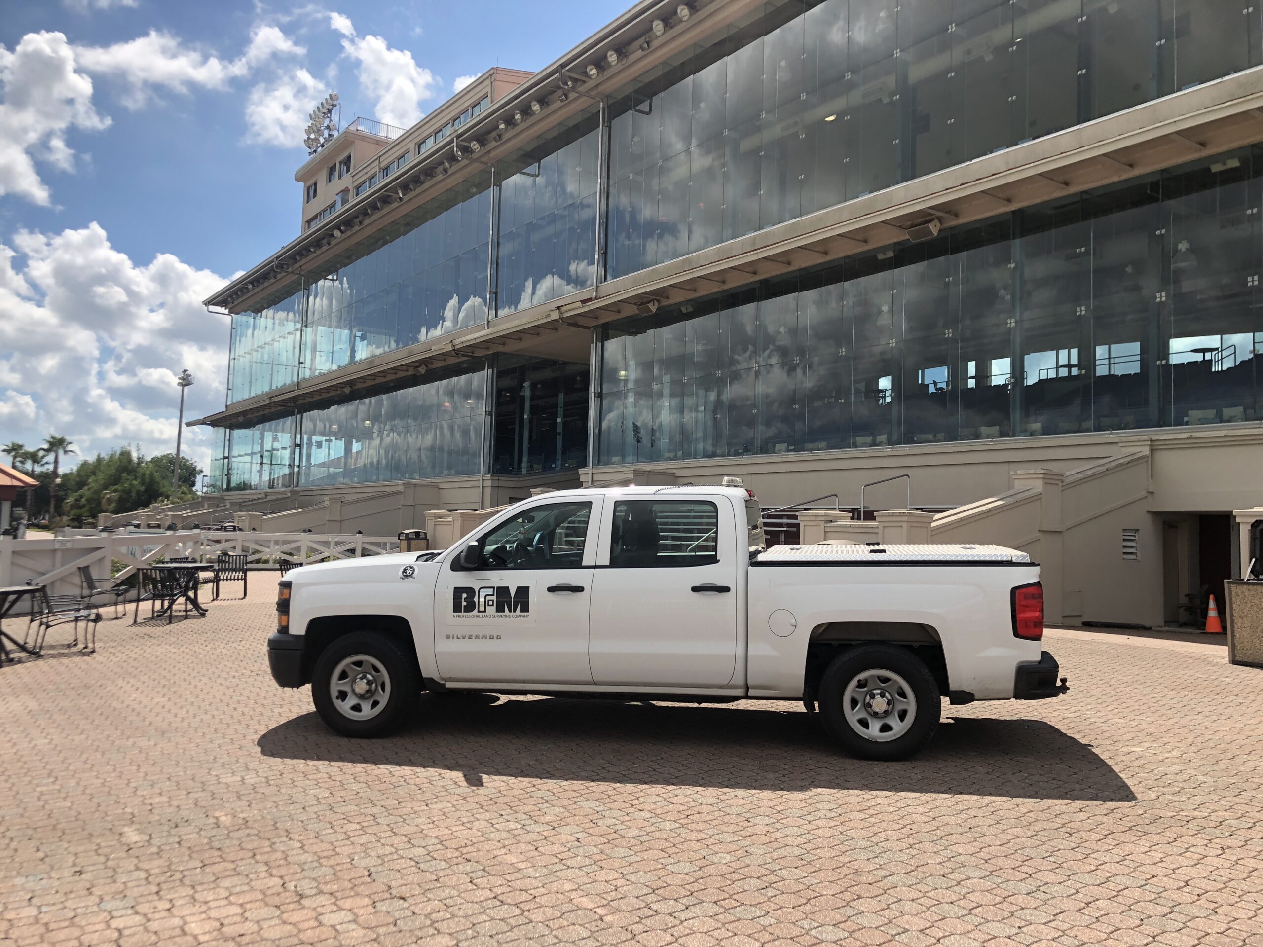
Since 1982, BFM Corporation, LLC. has provided services to public & private concerns throughout the Gulf South. The firm’s key personnel incorporate decades of surveying experience in all facets of surveying, from topographic to hydrographic. BFM uses the latest surveying equipment to contribute to its top quality work, including the latest AutoCAD Civil 3D 2015 and Microstation V8i CAD engines.
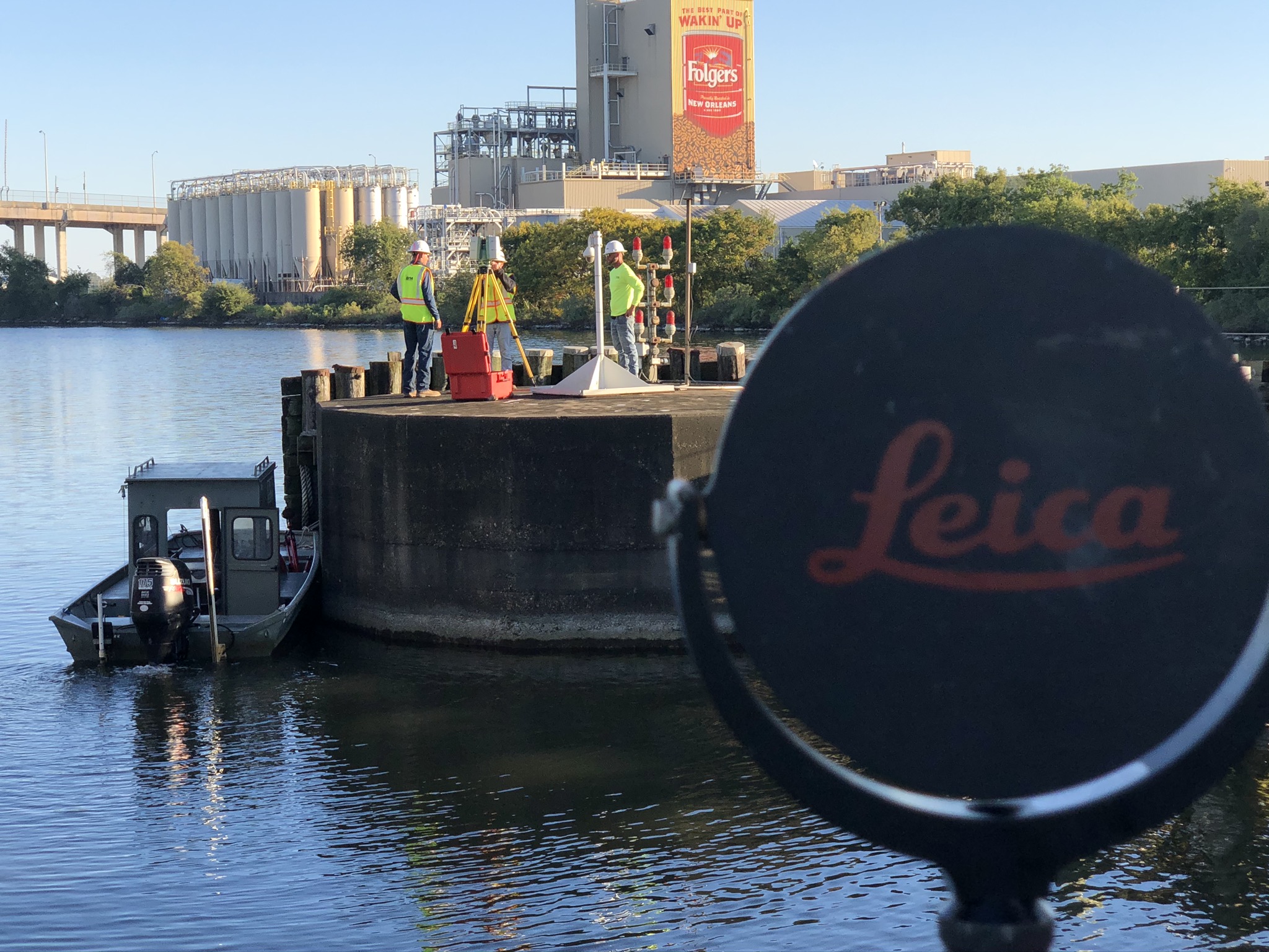
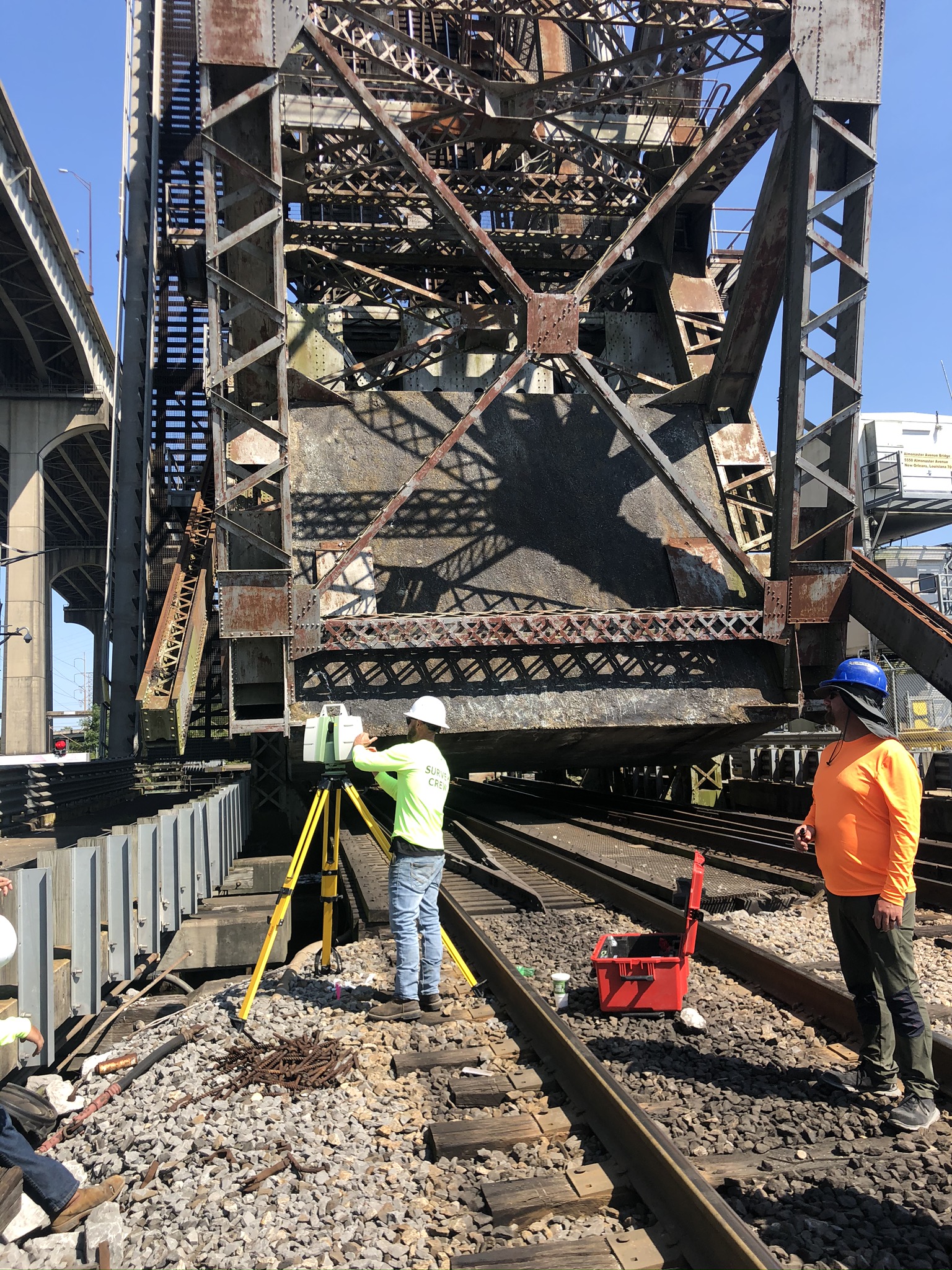
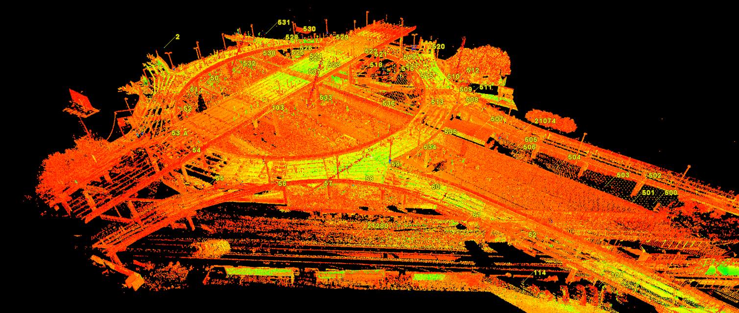
BFM utilizes Leica’s C10 Scanstation for full 3D scans; we have the ability to process and model for any design purpose; high definition scanner data is processed using Leica Cyclone 8 and Autodesk ReCap 2016. Furthermore, the firm is working on non-traditional survey deliverables, including virtual tours, live walkthroughs, detailed pipe rack modeling, and modeling for use with Autodesk Revit Architecture.
BFM has the ability to perform automated bathymetry to handle any hydrographic surveying task. For the Mississippi River and other large rivers or bodies of water, BFM’s boat is equipped with Teledyne Odom Hydro Solutions’ Hydro Trac Single Beam Echo Sounder. For smaller bodies of water, BFM uses Oceanscience Z-Boat equipped with CEE Scope Dual Channel Echo Sounder. The firm uses HYPACK 2015 to utilize the information gathered for our clients.
Survey Field Crews are equipped with Leica Viva GS15 & GS12 GNSS Solutions, the latest high precision GPS equipment. These systems are dual-frequency systems with real time radio (RTR) and cell phone links for extended range. Furthermore, each crew is outfitted with Leica’s TS15 Robotic Total Station which is the latest in One Person Surveying. BFM’s crews attend GPS & TPS training classes offered by Leica to assure full utilization of the equipment and to maintain absolute accuracy in using the equipment.